
- 1867: 10 miles completed between Tomah and Warren, Wisconsin by the West Wisconsin Railway
- 1868: 21 miles completed between Warren and Black River Falls, Wisconsin by the West Wisconsin Railway
- 1869: 34 miles completed between Black River Falls and Augusta, Wisconsin by the West Wisconsin Railway
- 1870: 46 miles completed between Augusta and Eau Claire, Wisconsin by the West Wisconsin Railway
- 1871: 44 miles completed between Eau Claire and Hudson, Wisconsin by the West Wisconsin Railway
- 1871: 18 miles completed between St. Paul and Stillwater, Minnesota by the St. Paul, Stillwater & Taylors Falls Railroad
- 1871: 4 miles including St. Croix River Bridge completed between Stillwater Junction, Minnesota and Hudson, Wisconsin by the St. Paul, Stillwater & Taylors Falls Railroad
- 1872: 32 miles completed between Elroy and Warren, Wisconsin by the West Wisconsin Railway
- 1872: 10 miles abandoned between Warren and Tomah, Wisconsin by the West Wisconsin Railway
- 1878: West Wisconsin Railway acquired by Chicago, St. Paul & Minneapolis Railway
- 1880: Chicago, St. Paul & Minneapolis Railway acquired by Chicago, St. Paul, Minneapolis & Omaha Railway
- 1880: St. Paul, Stillwater & Taylors Falls Railroad acquired by St. Paul & Sioux City Railroad
- 1881: St. Paul & Sioux City Railroad acquired by Chicago, St. Paul, Minneapolis & Omaha Railway
- 1881: New St. Croix River Bridge and realignment at Hudson
- 1883: The Chicago, St. Paul, Minneapolis & Omaha Railway is controlled by the Chicago & North Western Railway
- 1884: 16 miles completed between Wyeville and Necedah, Wisconsin by the Princeton and Western Railway
- 1902: Realignment around Black River Falls to reduce grades
- 1911: 125 miles completed from Necedah to Butler, Wisconsin by the Milwaukee, Sparta & North Western Railway
- Connection at Wyeville allows for faster travel between the Twin Cities, Milwaukee and Chicago
- 1911: Second track completed from Wyeville to Menomonie, including realignment at Eau Claire
- 1912: Second track completed from Menomonie to Knapp
- 1912: Princeton and Western acquired by the Milwaukee, Sparta & North Western Railway
- 1912: MS&NW acquired by the Chicago & North Western Railway
- 1913: Second track completed from Knapp to St. Paul
- 1915: Original bridge at Black River Falls removed
- 1957: The Chicago, St. Paul, Minneapolis & Omaha Railway is leased by the Chicago & North Western Railway
- 1957-62: Second track mostly removed from Wyeville to St. Paul
- 1971: Sheppard to Black River Falls spur abandoned
- 1972: The Chicago, St. Paul, Minneapolis & Omaha Railway is fully absorbed by the Chicago & North Western Railway
- 1986: Levis to Black River Falls spur abandoned
- 1987: Camp Douglas to Elroy segment abandoned and purchased by Juneau County for trail use
- 1992: Omaha Trail opens between Camp Douglas and Elroy
- 1992: Original alignment through Eau Claire is abandoned
- 1995: Chicago & North Western purchased by Union Pacific Railroad
- 2015: Original bridge at Eau Claire opens to pedestrians
- 1995-Present: Union Pacific operates the Altoona Subdivision from St. Paul to Altoona
- 1995-Present: Union Pacific operates the Wyeville Subdivision from Altoona to Adams
- 1995-Present: Union Pacific owns the Camp Douglas Industrial Lead from Wyeville to Camp Douglas
06/26/21
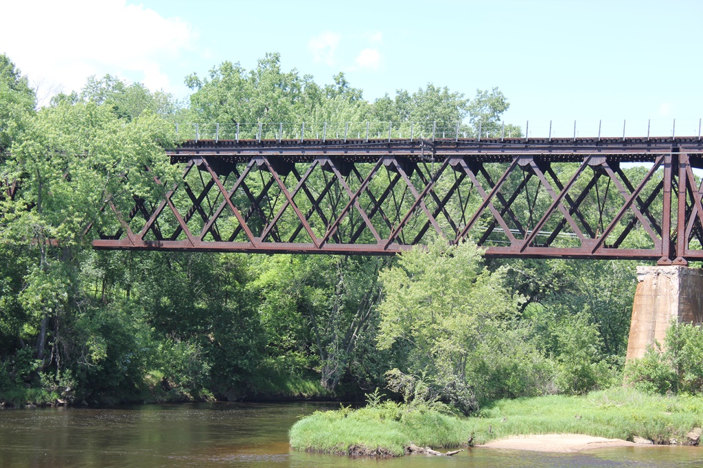
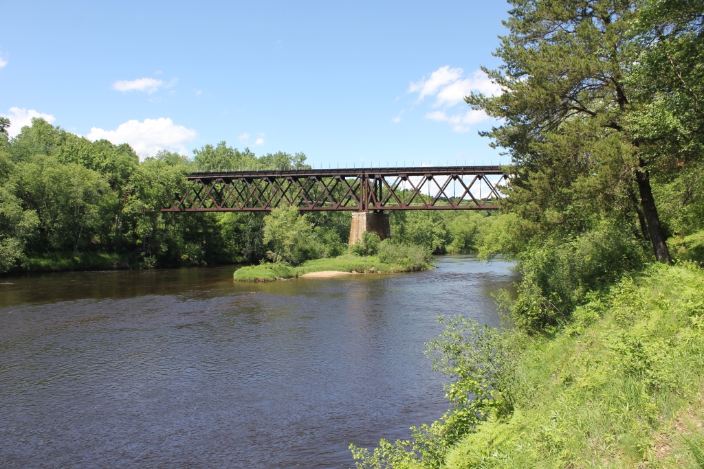
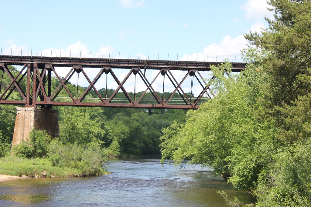
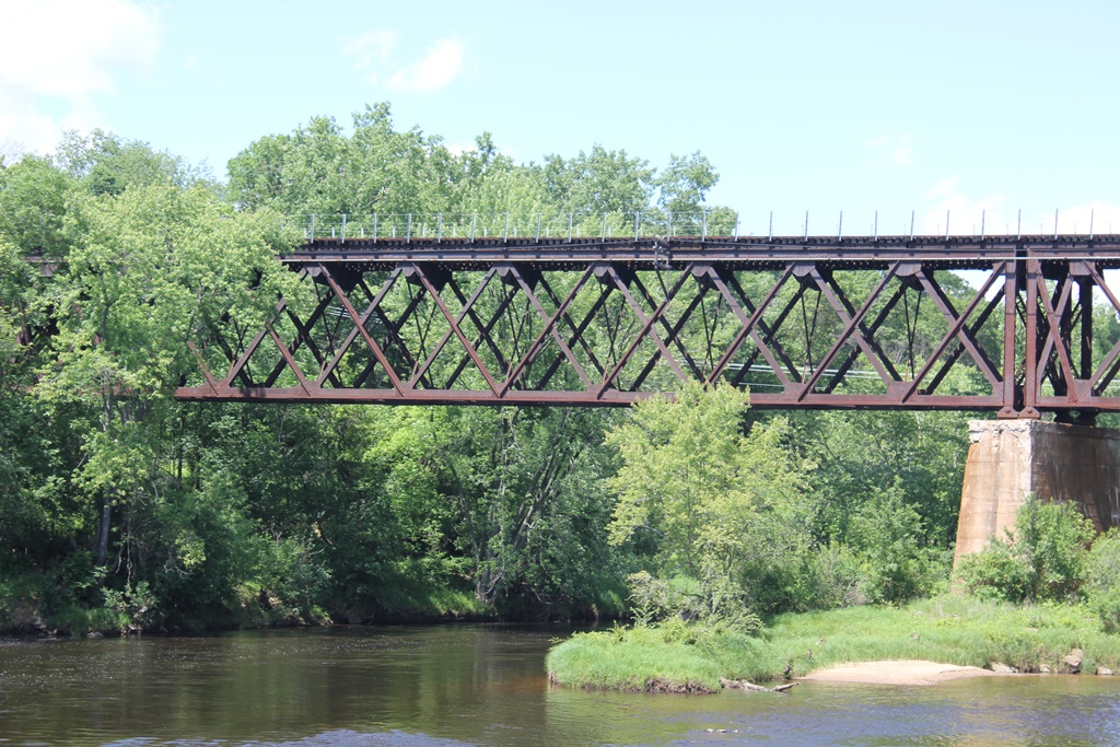
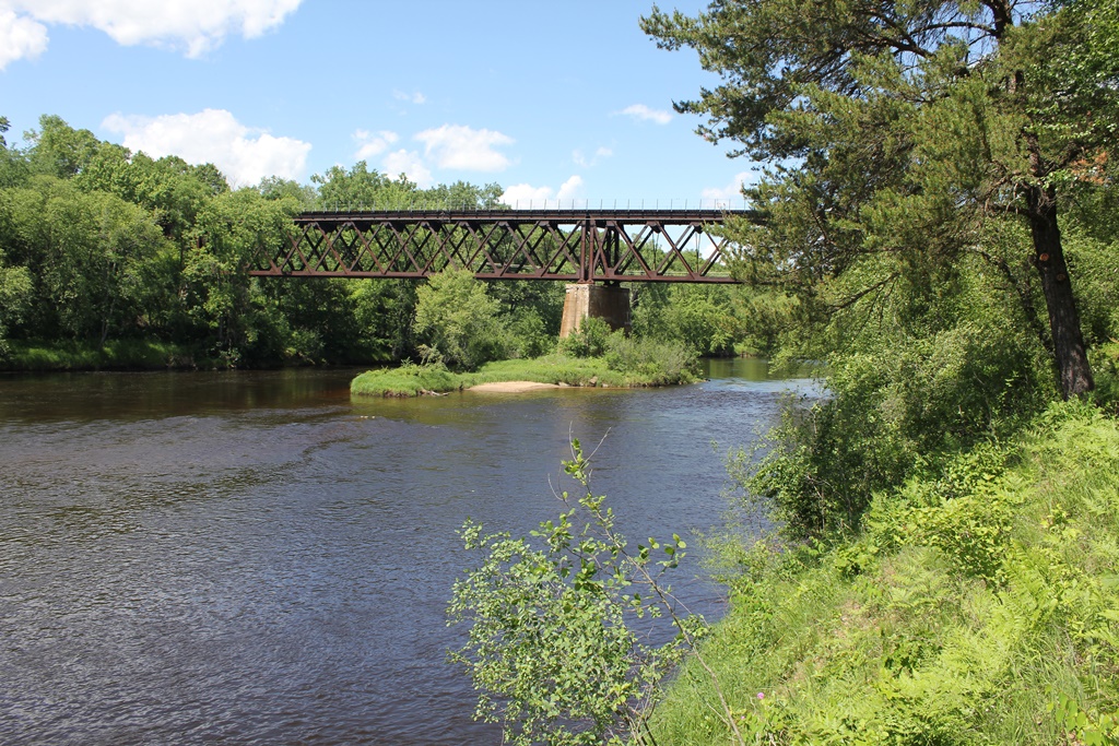
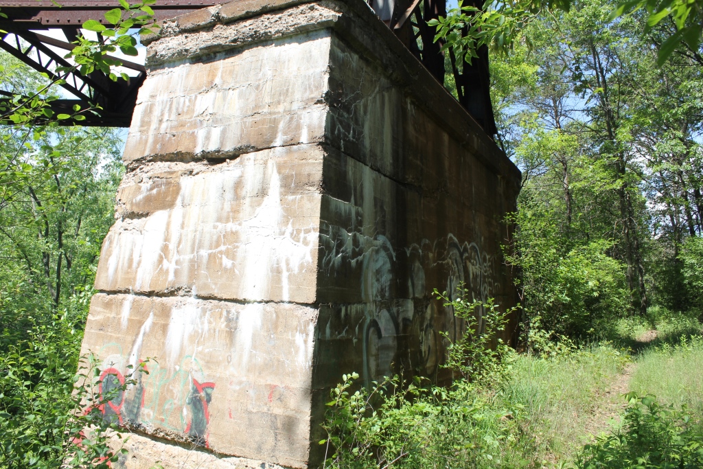
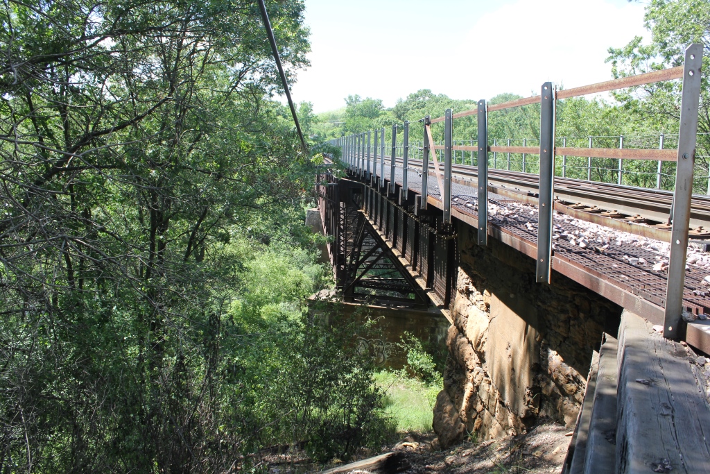
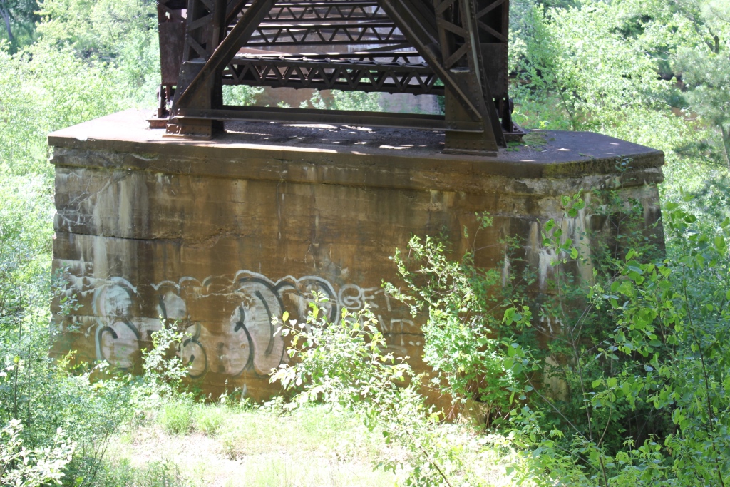
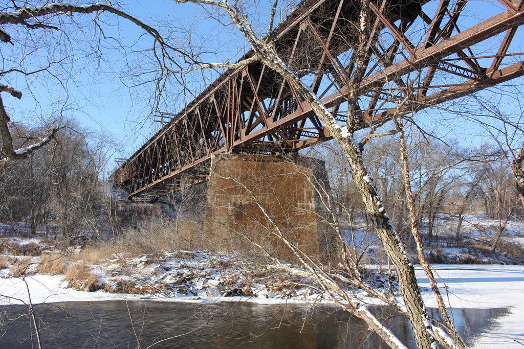
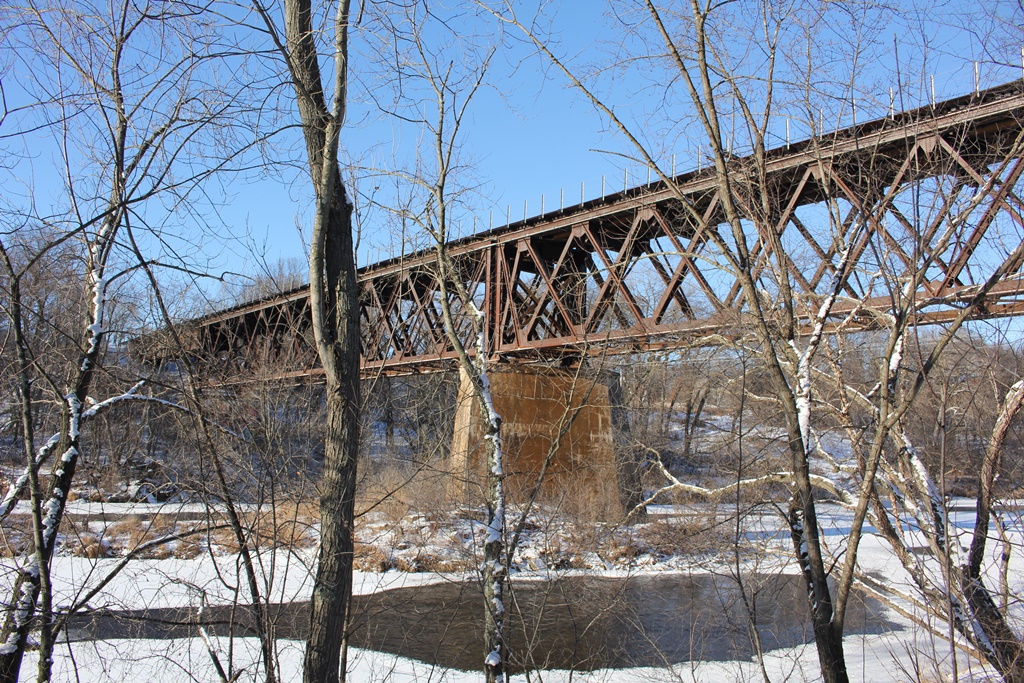
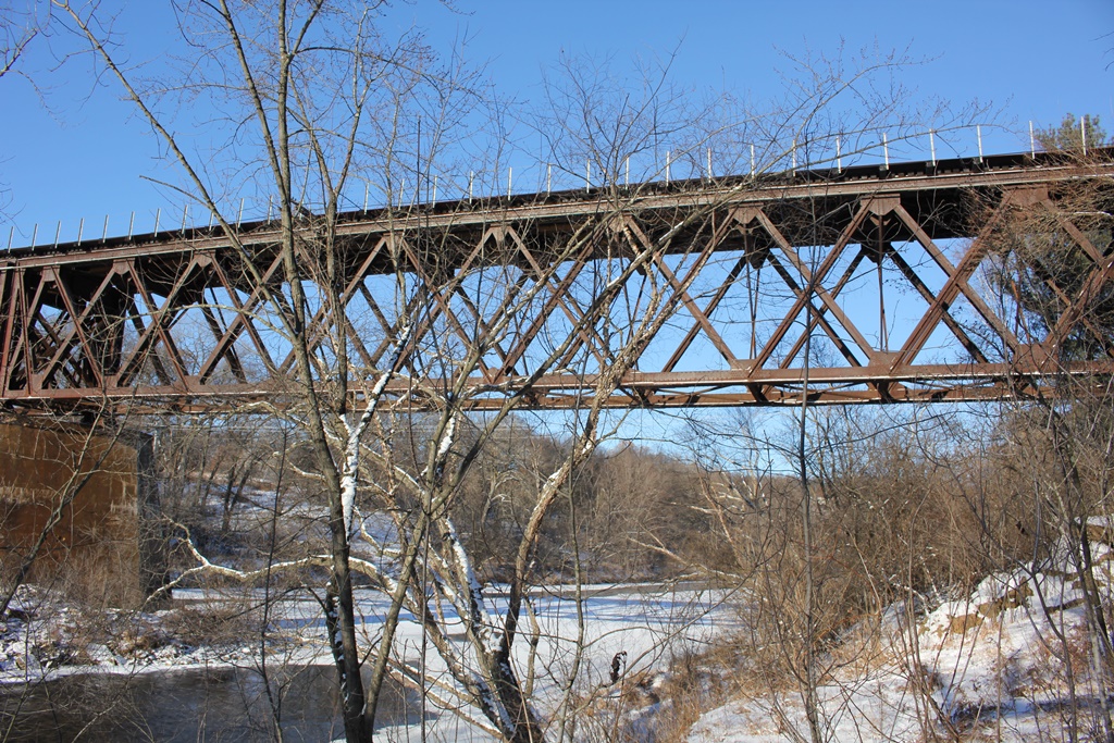
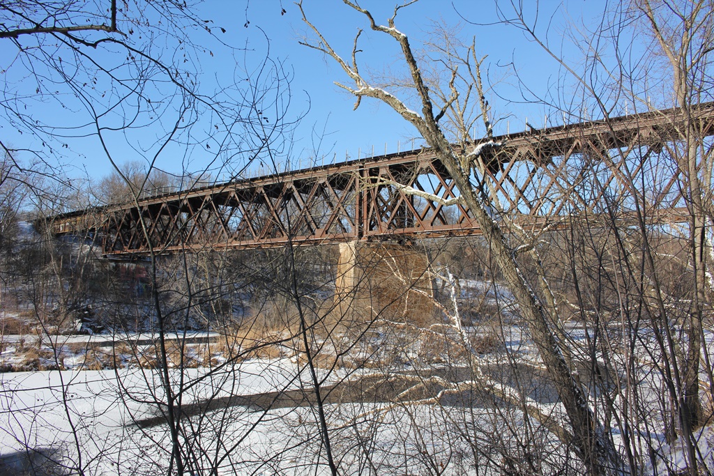
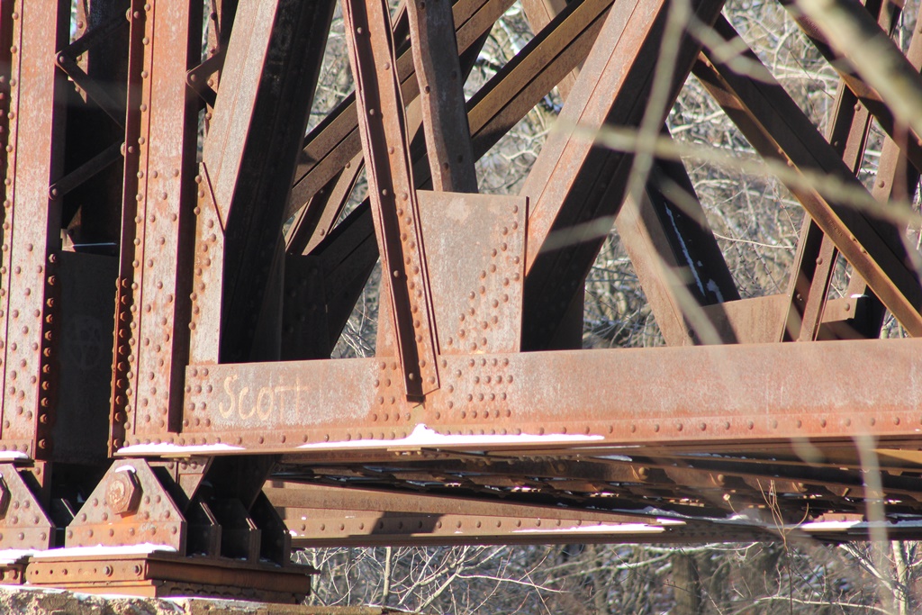
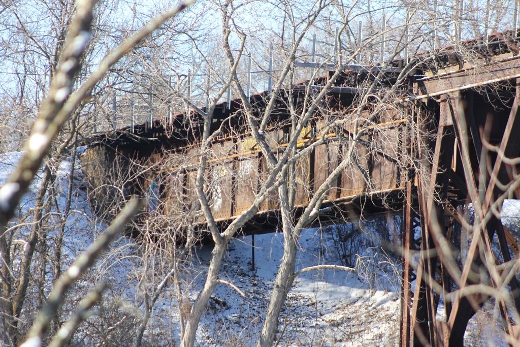
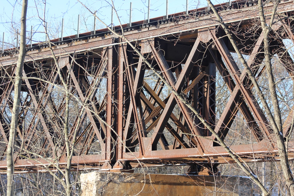
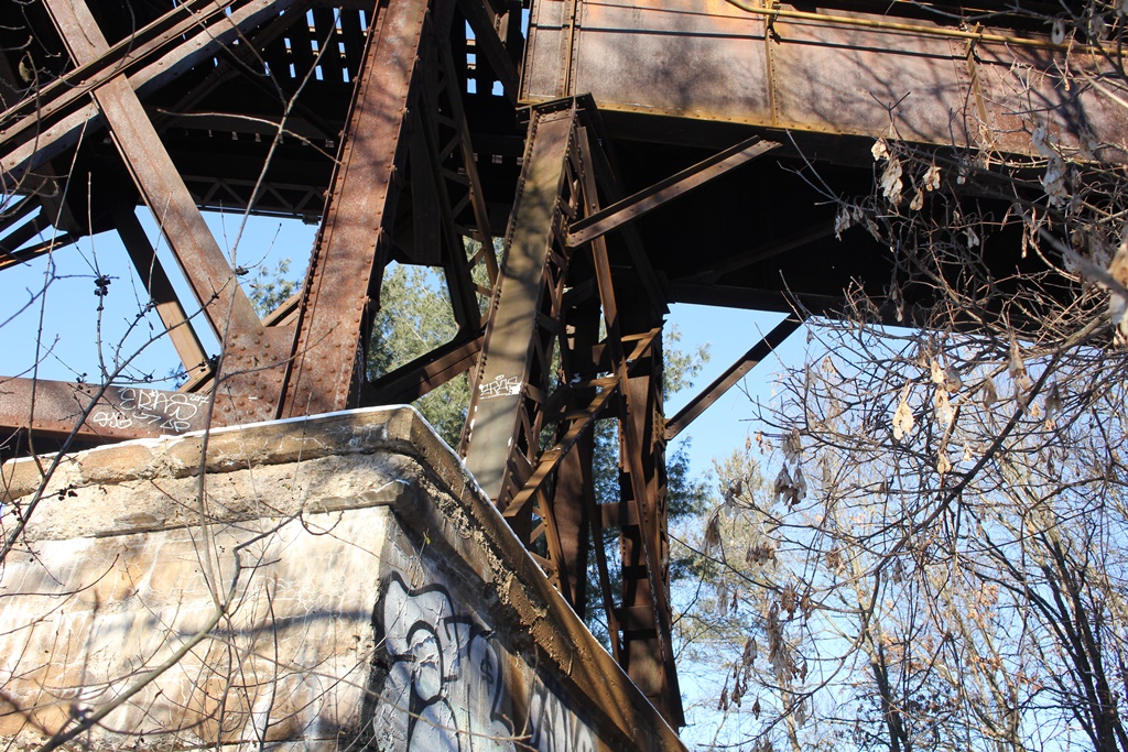
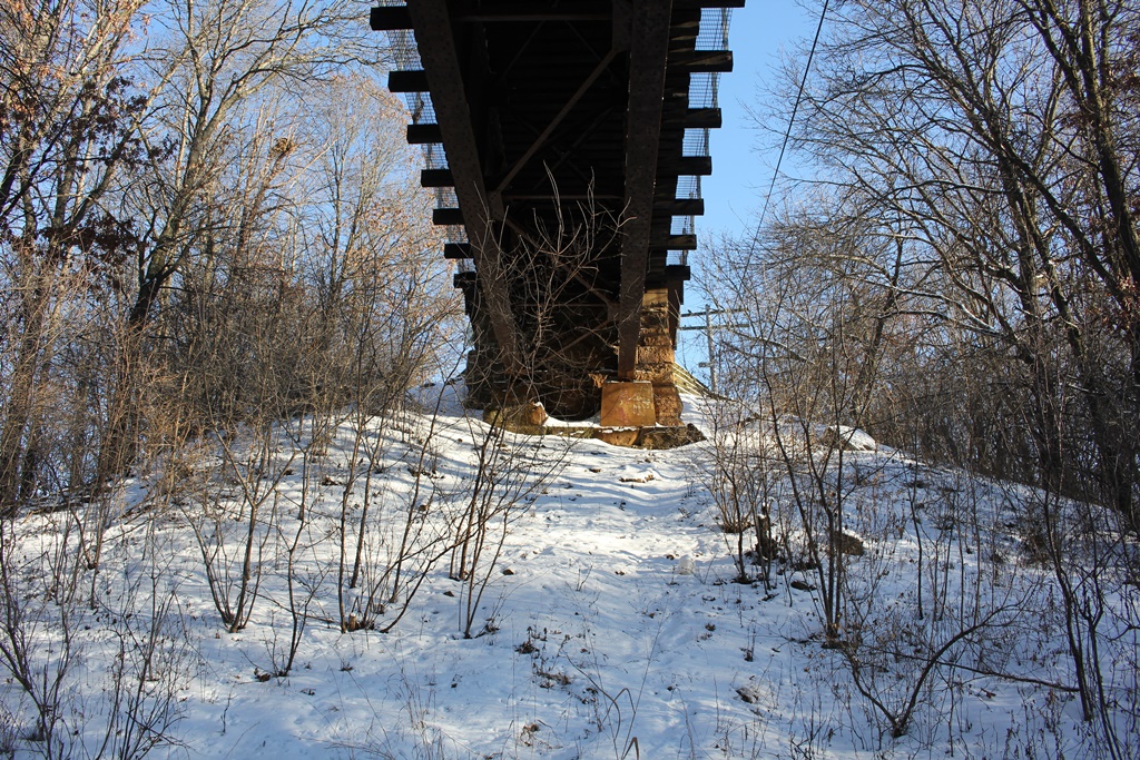
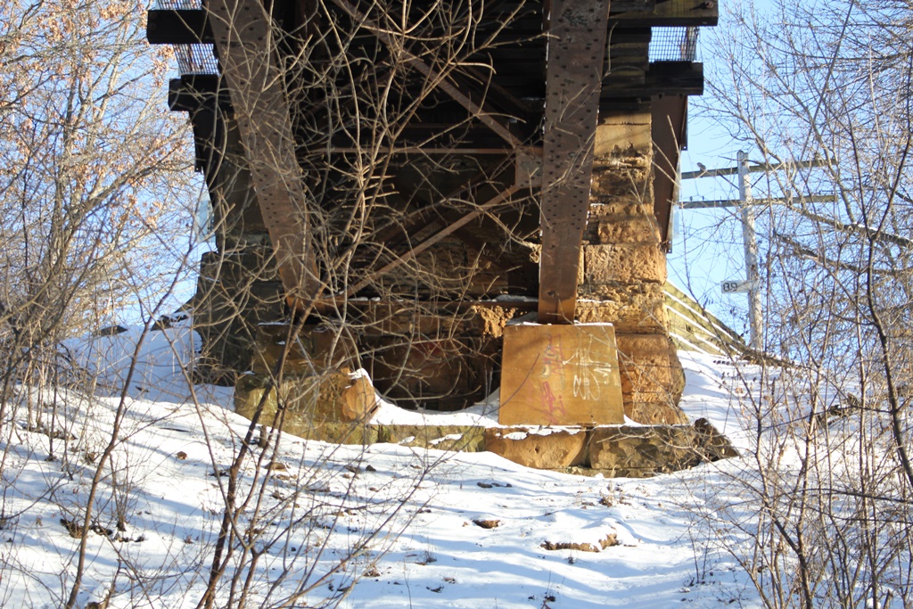
This bridge was built 1898 replacing an old iron bridge. It had a similar design. The bridge before that was a wooden bridge.
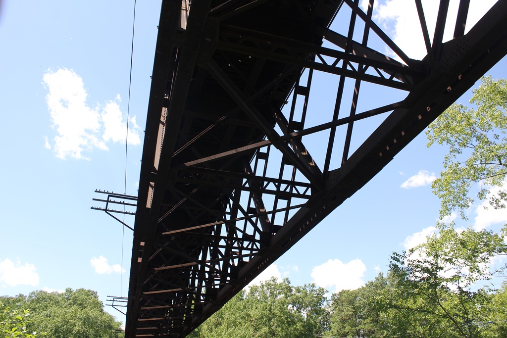
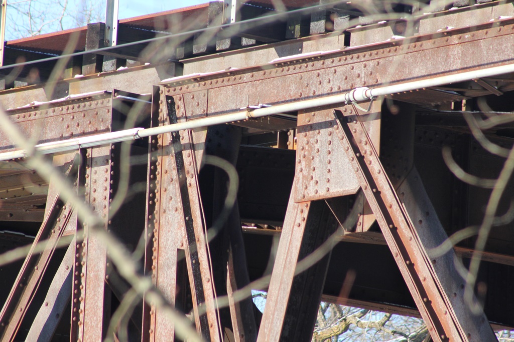
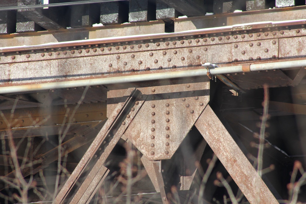
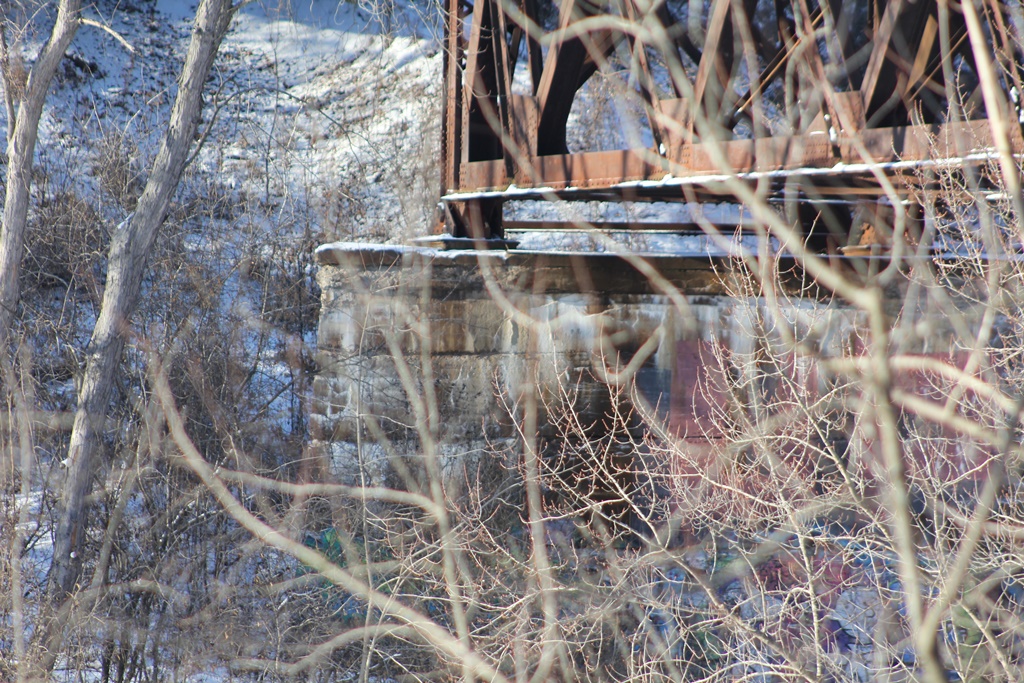
The bridge contains two double intersection warren deck truss spans at 157'2" each. In addition, it has two deck plate girders at 80' each, one on each end.
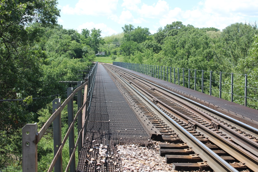
The bridge was built gauntlet in 1901, meaning two tracks ran over the bridge in the space of one track. This gauntlet was removed in 1991.
In the 90 years that the bridge gauntlet, plans had been brought up in 1916 to build a second parallel bridge, but it was later deemed far too expensive.
The bridge has continued to serve faithfully since its build in 1898.
The author has ranked the bridge as moderately significant, due to the design and gauntlet designation, as well as the age.
The photo above is looking from the east bank.
| Upstream | Headwaters |
| Downstream | Soo Line "S" Bridge |